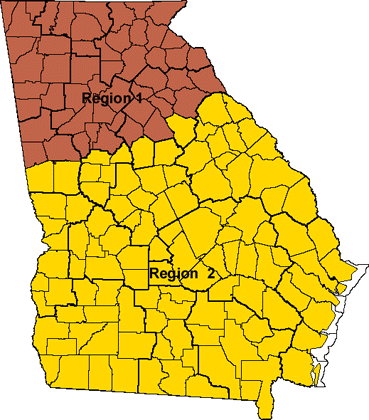
Unique Selected Forest Maps for Georgia - 1997

Click maps

Move maps

(For the resolution

 of 800*600, click

 here )


Links to forest maps with forestry-related individual layers representing administrative boundaries such as Timber Mart South districts, Georgia Counties, Georgia Regional Development Commission regions, Georgia FIA Units and Georgia Physiographic Regions. Three venues for map selection and exploration are provided here: one for unique selection, multiple selection, and an interactive map service (Using ArcIMS).

The last update: 07/02/2003

[Home] [Livemaps] [Sustainability] [Mensurationists] [FIA mirror] [Comments] [Email URL]